
North Coast Municipality
Listings in Manati, PR
Welcome to Manatí, a northern-coast Puerto Rico municipality founded in 1738, home to the crescent cove of Playa Mar Chiquita and a major pharmaceutical corridor.
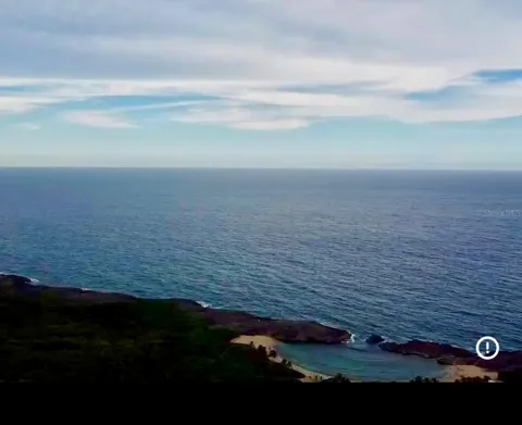
Manatí is a city and municipality on Puerto Rico's northern coast, about 25 miles west of San Juan along the island's principal north-coast corridor. It borders Barceloneta and Florida to the west, Vega Baja to the east, and the rugged karst hills of Ciales and Morovis to the south. The municipality combines a compact coastal plain with rolling limestone hills, and its shoreline faces the open Atlantic. The town was founded in 1738 by Don Pedro Menéndez Valdés and was the ninth municipality recognized by the Spanish Crown. Its name comes from the manatee, the sea mammal of the region's coastal waters, and the town carries two affectionate nicknames: "La Ciudad Metropolitana" and "La Atenas de Puerto Rico." The Iglesia Nuestra Señora de la Candelaria, built in the 17th century, still stands in the town center, anchoring the barrio-pueblo around which the municipality grew. Manatí is one of Puerto Rico's principal industrial centers, particularly in pharmaceuticals. Major manufacturing campuses produce solid-dose medications and other medical products, and the sector draws on the island's deep pharmaceutical workforce. Alongside industry, Manatí retains an agricultural identity: it has long been regarded as the pineapple center of Puerto Rico, with additional cultivation of fruits, sugar cane, and coffee, and local farms supplying chefs across the island. The municipality's best-known landmark is Playa Mar Chiquita, where two limestone headlands enclose a half-moon cove of turquoise water—a natural pool protected from the open Atlantic that draws swimmers, snorkelers, and picnickers. Caves, blowholes, and tide pools line the adjacent coast. With roughly 38,000 residents, Manatí functions as a north-coast hub for commerce, health services, and manufacturing, while its barrios range from the historic downtown to hillside and coastal communities. The municipality's location keeps San Juan and its metropolitan services within an easy drive, while the beaches and karst countryside of the north coast define daily recreation.

Get more information about Manati
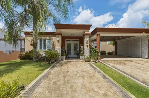
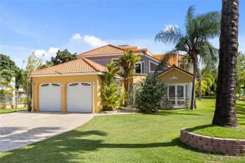
Houses in Manati, PR
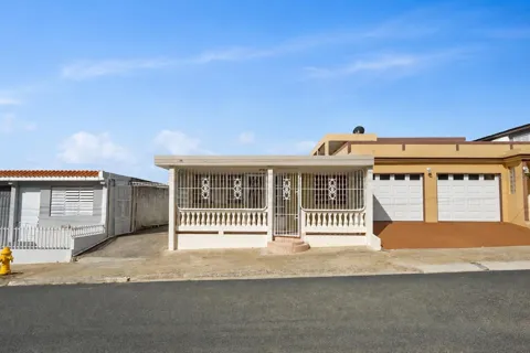
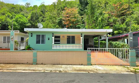
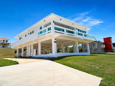
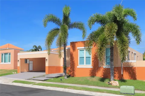
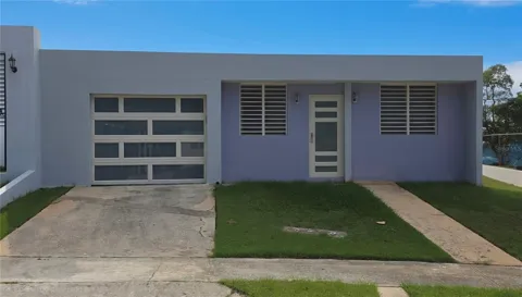
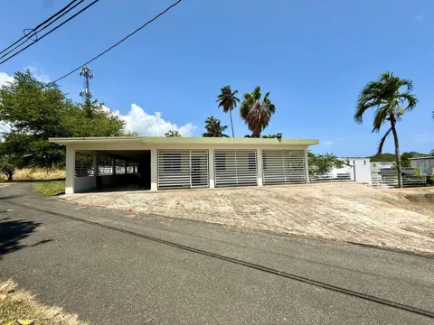
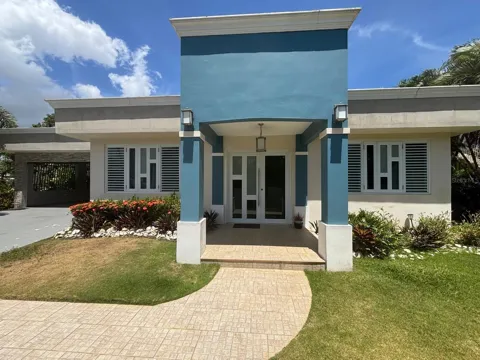
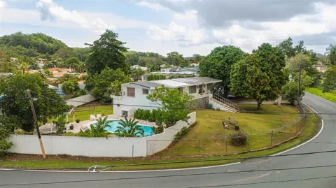
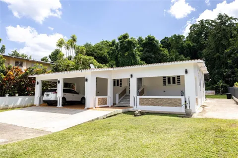
For Rent in Manati, PR
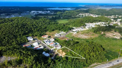
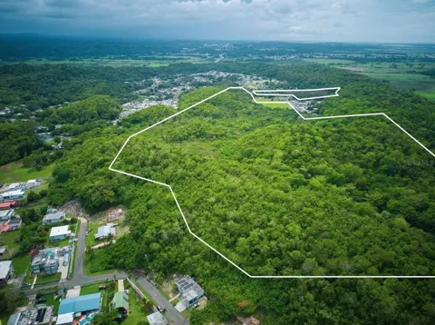
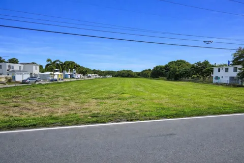
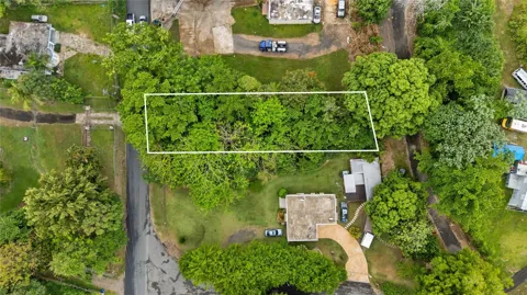
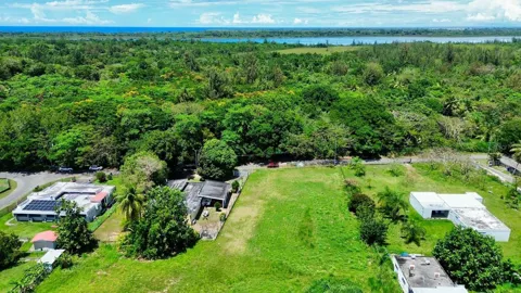
Lots & Land in Manati, PR
MARKET SNAPSHOT
The Market at a Glance
How homes have been selling here over the last 90 days.
Price & Sales History
Market data reflects closed sales over the last 90 days and is provided for informational purposes.
Zip Codes
BROWSE BY ZIP
Browse listings by postal code in this area.
- Grid
- Map
- List
City Guide
About Manati
Real Estate & Housing
Manatí's housing spans a full municipal range. The barrio-pueblo and older urban center hold traditional Puerto Rican casas and modest concrete homes around the plaza, while surrounding urbanizaciones offer single-family homes and townhouses on planned lots. Hillside barrios such as Tierras Nuevas Poniente and Saliente and Río Arriba Poniente and Saliente mix rural and suburban homes, often with hillside views toward the coast. Coastal and near-beach areas, particularly toward Mar Chiquita, hold waterfront and vacation-oriented properties. Because Manatí is a working municipality with a strong manufacturing base, the housing market includes both established family neighborhoods and newer infill, with proximity to San Juan and the coast shaping desirability.
Neighborhoods
Manatí is organized around its barrios. Manatí barrio-pueblo is the downtown and administrative center, centered on the plaza and the Iglesia Nuestra Señora de la Candelaria. The municipality's more than eight other barrios include Río Arriba Poniente and Río Arriba Saliente to the south and east, and Tierras Nuevas Poniente and Tierras Nuevas Saliente, which stretch toward the coast and the Mar Chiquita area. Urbanizaciones and residential sectors fill much of the coastal plain near the town center, while the southern barrios rise into the karst hills. This layout gives Manatí a distinct urban core, suburban residential zones, and rural hillside communities within one municipality.
Lifestyle in Manati
Manatí's lifestyle blends a working coastal city with easy access to the Atlantic. Weekends often mean a trip to Playa Mar Chiquita, where families picnic and swim in the protected cove, or exploring the blowholes, caves, and tide pools along the shore. The town plaza and the historic church anchor civic and religious life, and local food reflects both the coast and the agricultural interior—fresh fruit, seafood, and Puerto Rican staples. The municipality's industrial employment base gives it a practical, commuter-oriented rhythm, while the proximity of San Juan, about 25 miles east, puts metropolitan dining, culture, and air travel within reach. It is a place where beach culture and working life coexist.
Schools & Education
Manatí is part of Puerto Rico's centralized public school system, operated by the island's Department of Education, with elementary, middle, and high schools distributed across the municipality's barrios. The town also has private school options, and higher education is available at regional institutions and the University of Puerto Rico campuses elsewhere on the island. The municipality's schools serve a broad geographic area, from the downtown barrio-pueblo to the hillside communities. For families, Manatí offers standard public schooling within the commonwealth system, supplemented by private academies, with San Juan's universities and specialized programs within commuting distance.
Getting Around
Manatí sits on Puerto Rico's main north-coast highway, PR-22 (the José de Diego Expressway), which connects the municipality east to San Juan and west toward Arecibo and the island's other northern cities. PR-2 runs parallel as the older coastal highway through the town's commercial spine. The drive to San Juan is roughly 25 to 30 miles, keeping the metropolitan area within a half-hour to 45-minute commute. Public transportation consists of públicos and municipal transit rather than rail, so most residents travel by car. The combination of PR-22 and PR-2 makes Manatí one of the more accessible municipalities on the north coast.
Parks & Recreation
Manatí's coastline is its signature recreation asset. Playa Mar Chiquita, framed by two limestone outcroppings, forms a calm, lagoon-like cove ideal for swimming and snorkeling, with caves, blowholes, tide pools, and a cliffside statue along the adjacent shore. The Atlantic beaches north of town attract surfers and families, while the karst hills to the south hold rural roads, caves, and views over the coast. Fishing and boating are part of coastal life, and the municipality's plaza and historic church offer a quieter cultural center. Nearby, the beaches of Vega Baja and Barceloneta and the cave systems of the island's northwestern karst region extend the range of weekend outings.
About Manati
Frequently asked questions
Where is Manatí located?
Manatí is on the northern coast of Puerto Rico, about 25 miles west of San Juan. It borders Barceloneta and Florida to the west, Vega Baja to the east, and the hills of Ciales and Morovis to the south.
What is Manatí known for?
Manatí is known for Playa Mar Chiquita, a crescent-shaped limestone cove, and for its role as a major pharmaceutical manufacturing center. Founded in 1738, it is nicknamed "La Atenas de Puerto Rico" (the Athens of Puerto Rico).
What does the name Manatí mean?
Manatí is named for the manatee, the sea mammal found in the island's coastal waters. The municipality was founded in 1738 by Don Pedro Menéndez Valdés and was the ninth town recognized by the Spanish Crown.
What is the main beach in Manatí?
Manatí's best-known beach is Playa Mar Chiquita, where two limestone headlands enclose a half-moon cove of protected water ideal for swimming and snorkeling. Caves, blowholes, and tide pools line the nearby coast.
What is the economy of Manatí based on?
Manatí's economy is anchored by pharmaceutical and electronics manufacturing, with several large drug-production campuses in the municipality. Agriculture also matters: Manatí is considered the pineapple center of Puerto Rico, with additional fruit, sugar cane, and coffee cultivation.
Still have questions about Manati?
Get in touchExplore the area