
Puerto Rico East Coast Municipality
Listings in Naguabo, PR
Welcome to Naguabo, a town and municipality on Puerto Rico's eastern coast, framed by the Vieques Passage, the Malecón, and the foothills of El Yunque National Forest.
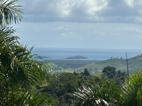
Naguabo is a town and municipality on the east coast of Puerto Rico, bordered by the Vieques Passage, the stretch of sea between the main island and the island of Vieques. It lies north of Humacao, south of Río Grande and Ceiba, and east of Las Piedras, and it is spread over eight barrios, including the downtown core of Naguabo Pueblo and the coastal community of Playa Húcares. The municipality covers roughly 52 square miles and had a population of about 25,800 in the 2020 census. Naguabo was formally established in 1821, though a settlement existed on the site as early as 1794. The town's growth has long been tied to the water. Its protected bay and east-coast location supported fishing and maritime commerce, and fishing remains part of the municipality's identity today. The Malecón, Naguabo's waterfront boardwalk, is lined with seafood restaurants and sits near the fishing activity that still brings in lobster, conch, and other local catch. The coastal district of Playa Húcares is another seaside focal point, known for its beach and informal seafood stalls. Naguabo is also defined by its geography at the edge of the Sierra de Luquillo. The municipality is one of eight that share El Yunque National Forest, the only tropical rainforest in the United States national forest system, and its rivers and foothills extend the forest's influence into daily life and recreation. The municipality is served by the Puerto Rico Department of Education through a network of public schools, and higher education is available nearby at the University of Puerto Rico at Humacao, Inter American University's Fajardo campus, and Universidad Ana G. Méndez in Gurabo. For residents, Naguabo combines a fishing-town coastline, a rainforest backdrop, and convenient access to the larger east-coast municipalities of Puerto Rico.

Get more information about Naguabo
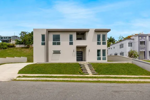
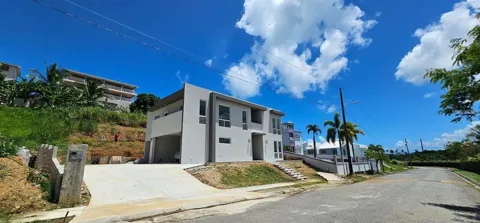
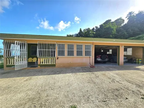
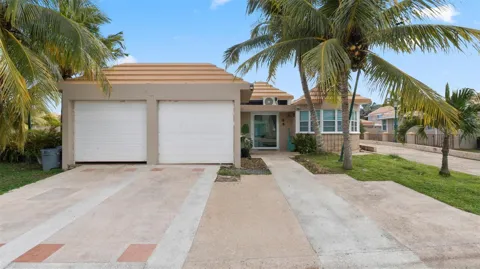
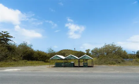
Houses in Naguabo, PR

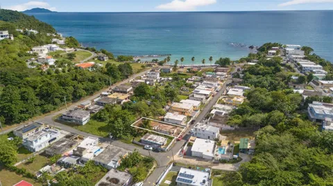
Condos & Apartments in Naguabo, PR
For Rent in Naguabo, PR
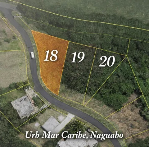
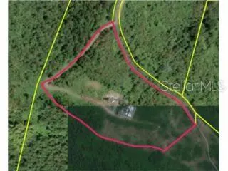
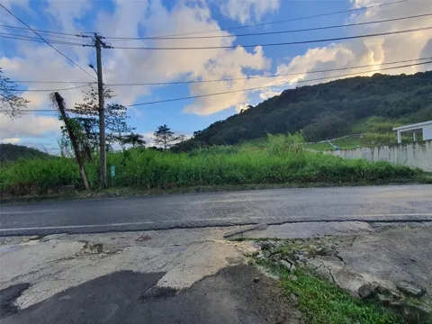
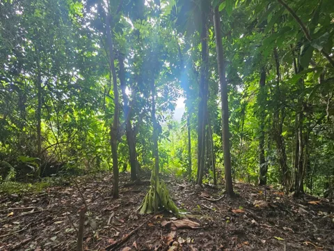
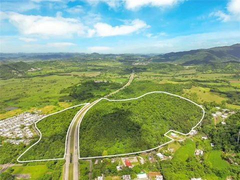
Lots & Land in Naguabo, PR
MARKET SNAPSHOT
The Market at a Glance
How homes have been selling here over the last 90 days.
Price & Sales History
Market data reflects closed sales over the last 90 days and is provided for informational purposes.
Zip Codes
BROWSE BY ZIP
Browse listings by postal code in this area.
- Grid
- Map
- List
City Guide
About Naguabo
Real Estate & Housing
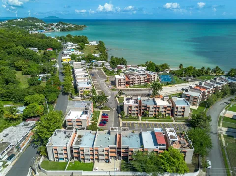
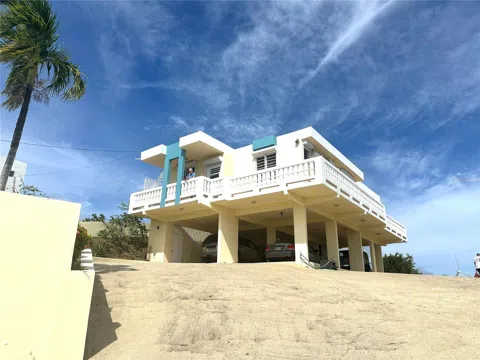
Housing in Naguabo spans the densely settled streets of Naguabo Pueblo, coastal neighborhoods near the Malecón and Playa Húcares, and more rural homes in the municipality's mountain barrios. The stock mixes older concrete homes, casas in the town center, and newer single-family construction, with rural parcels in the higher elevations. Coastal areas tend toward compact, close-set lots, while inland areas offer more space and hillside views. The municipality provides a range of settings within a short distance, from waterfront living to rainforest-adjacent communities, reflecting the island's mix of urban, coastal, and mountain residential patterns rather than a single uniform housing type.
Neighborhoods
Naguabo is divided into barrios, the traditional wards of Puerto Rican municipalities, with Naguabo Pueblo forming the downtown core. Playa Húcares, along the coast, is known for its beach and seafood shacks. Other barrios climb into the hills toward the Sierra de Luquillo, including the areas that border El Yunque National Forest. Nearby municipalities frame the region: Humacao to the south, Las Piedras to the west, Ceiba to the north, and Río Grande to the northwest. The eastern coastal plain connects Naguabo to the larger urban centers and the ferry and highway networks of Puerto Rico's east coast.
Lifestyle in Naguabo
Life in Naguabo is shaped by the sea and the mountains. The town's fishing tradition remains visible along the Malecón, a waterfront boardwalk lined with seafood restaurants where residents and visitors gather near the bay. The coastal community of Playa Húcares adds beachside character, while the municipality's inland barrios climb into the foothills of the Sierra de Luquillo and El Yunque. The pace is unhurried, and local culture centers on food, family, and outdoor life. Residents have access to rivers for swimming, the rainforest for hiking, and nearby municipalities such as Humacao and Ceiba for additional services, shopping, and transport connections.
Schools & Education
Naguabo is served by the Puerto Rico Department of Education, which operates a number of public schools across the municipality's barrios, from the town center to the inland and coastal communities. The system covers elementary, middle, and high school levels, with private and parochial options also available in the region. For higher education, residents have convenient access to the University of Puerto Rico at Humacao, Inter American University of Puerto Rico's Fajardo campus, and Universidad Ana G. Méndez in Gurabo, offering undergraduate and graduate programs. Families considering the area should expect the islandwide public school structure, with schools distributed across the municipality's geography.
Getting Around
Naguabo sits along the eastern coastal plain of Puerto Rico, connected to the island's highway network by Route 3 and the PR-53 expressway corridor, which link the municipality to Humacao to the south and Ceiba and Fajardo to the north. The Ceiba ferry terminal, serving Vieques and Culebra, is a short drive north, and Luis Muñoz Marín International Airport in San Juan is reachable in about an hour by highway. Public transportation is limited to públicos and local routes, so most residents rely on cars. The municipality's mountain barrios are reached by winding local roads, while the coastal center benefits from flatter, faster connections along the east coast.
Parks & Recreation
Recreation in Naguabo centers on the coast and the rainforest. The Malecón provides a waterfront promenade for dining and strolling, while Playa Húcares offers beach access and local seafood. El Yunque National Forest, shared with seven other municipalities, provides hiking trails, waterfalls, and river swimming in the only tropical rainforest in the U.S. national forest system, with portions lying within Naguabo's own foothills. The municipality's rivers add freshwater swimming and gathering spots. Nearby, the east coast offers additional beaches, and the ferry terminal at Ceiba connects to the islands of Vieques and Culebra for day trips and longer stays.
About Naguabo
Frequently asked questions
Where is Naguabo located?
Naguabo is a town and municipality on the east coast of Puerto Rico, bordered by the Vieques Passage. It lies north of Humacao, south of Río Grande and Ceiba, and east of Las Piedras.
What is Naguabo known for?
Naguabo is known for its fishing heritage and its waterfront Malecón, lined with seafood restaurants. The municipality is also one of eight that share El Yunque National Forest, the only tropical rainforest in the U.S. national forest system.
How large is Naguabo?
Naguabo had a population of about 25,800 in the 2020 census and covers roughly 52 square miles. It is spread over eight barrios, including the downtown area of Naguabo Pueblo and the coastal community of Playa Húcares.
What schools serve Naguabo?
Naguabo is part of the Puerto Rico Department of Education system, with a number of public schools serving the municipality. For higher education, residents have access to the University of Puerto Rico at Humacao, Inter American University's Fajardo campus, and Universidad Ana G. Méndez in Gurabo.
Still have questions about Naguabo?
Get in touchExplore the area